Galleries 0
Collections 0
Groups 0
Over the course of two and a half weeks in June 2014, we took an amazing trip around the “Land of Fire and Ice.” Although we had heard many good things about Iceland before our visit, and we undertook weeks of research to map out our itinerary and learn about the places we would visit, the beauty of the landscapes never ceased to surprise and impress us. Continually shaped by natural elements of fire and ice, wind and stone, Iceland is a land of contrasts and extremes. Ancient sagas tell the legends of heroes and thieves, elves and trolls. Beautiful coastal walks sit just below snow-covered peaks; delicate moss covers the hard, sharp lava rocks; white, yellow, and purple flowers pop up out of rock-strewn fields; hot lava shoots up from beneath icy glaciers; icebergs wash up on black sand beaches; steam rises from hillsides next to blocks of ice and snow; long, dark winters give way to 24-hour daylight and midnight sun in the height of summer.
Technically, Iceland should not offer much to support human habitation: it is a large mass of rock in the middle of the Atlantic Ocean sitting just below the Arctic Circle. But it is warmed by the Gulf Stream, giving it relatively mild winters. Although there are few trees and no coal or oil to produce heat or electricity, the steam beneath the surface provides an abundance of warmth in the houses and hundreds of warm pools for bathing, and together with hydro-electric dams, provides more than enough power to meet everyone needs. Even the long dark of winter is punctuated by the colorful glow of the aurora borealis or northern lights. For all the factors that should make Iceland uninhabitable, there is a counter-balancing force that gives it both life and beauty.
Following the famous Ring Road that circles the island, we started our trip from Reykjavik, Iceland’s largest city and capitol. In the Snaefelllsnes Peninsula, jutting out into the Atlantic on the west side of the island, we enjoyed dozens of wonderful walks in the national park that surrounds the magnificent glacier. On to the north, we stayed in Akureyi and Husavik, visiting Godafoss, Dettifoss and Selfoss waterfalls, hiking in Jokulsargljufur National Park, and walking among the rock formations at Lake Myvatn. In the east, we stayed at Seydisfjord and then took a gorgeous drive through the mountains and along the coast, stopping along the way for short walks and lots of photos, including Jokulsarlon Glacier Lagoon. Our next stop was Skaftafell National Park, where we have an absolutely fantastic walk that kept us out until after midnight. In the south we visited the village of Vik and its long black beaches, and continued to the excellent museum at Skogar, which is located next to Skogafoss waterfall and not far from the famous Seljalandsfoss waterfall. Continuing our drive we arrived to the Golden Circle, with Geyser, Gullfoss waterfall, and Thingvellir National Park. We ended our journey in the central highlands, taking the Kjolur Highland Road to Kerlingarfjoll. Altogether we drove over 3000 km and walked over 200 km.
I've organized the photos into galleries that reflect the primary geographical areas of Iceland, starting at the beginning of our trip and going clockwise around the island. Each area is our favorite part of Iceland, and we would eagerly return again to all of them. The photos in these galleries don’t tell the full story of our trip, but for us they evoke many pleasant memories. I hope the images leave you with a small sense of the splendor of Iceland.
Iceland 2014 - Reyjkavik and Golden Circle
30 photos
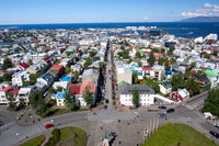
Iceland 2014 - West
76 photos
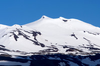
Iceland 2014 - North
80 photos
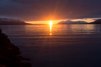
Iceland 2014 - East
49 photos
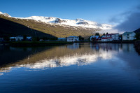
Iceland 2014 - South
82 photos
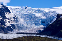
Iceland 2014 - Central Highlands
66 photos
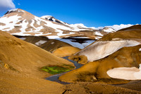
Iceland 2014 - Panoramas
16 photos
© Sustaining Images, All Rights Reserved