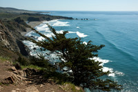
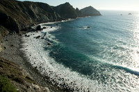
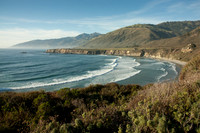
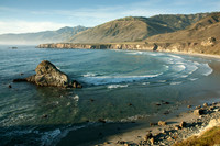
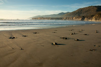
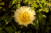
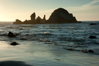
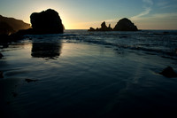
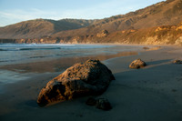
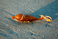
Following ninety miles of twists and turns along the rugged and strikingly beautiful coastline between Carmel and San Simeon, Big Sur (El Sur Grande) is aptly known as one of the best scenic drives in the world. The road is flanked on the east by the Santa Lucia Mountains and on the west by the rocky Pacific coast. Depending on the time of year, one might see California condors soaring in the sky, or migrating whales arching on the ocean’s surface, or elephant seals engaged in their annual mating rituals. The coastline is marked by steep cliffs, impressive rock formations, sand dunes, and shallow lagoons. For those willing to hike a few miles, there are trails in Los Padres National Forest and Ventana Wilderness. Seasonal rocky streams flow through steeply cut canyons lined by oak and redwood forests, occasionally offering expansive views of the ocean.
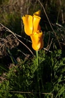
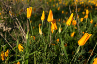
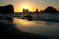
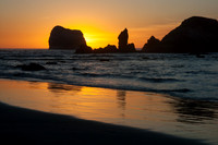
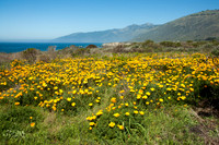
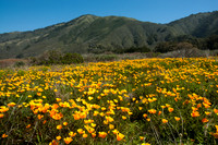
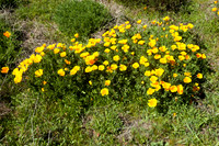
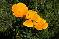
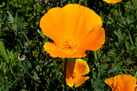
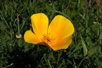
We visited Big Sur twice. On our first trip in 2007 we visited primarily the southern stretch of the scenic highway, staying in a luxury yurt at Treebones Resort. We started and ended every day at nearby Sand Dollar Beach. It was early spring, and we found fields of yellow poppies just above the beach and enjoyed the wonderful sunset afterglow each evening framing the beautiful rock formations just offshore. We made our way as far north as Pfeiffer Beach, and we also hiked Vicente Trail. On our second trip, in 2011, we stayed in Monterey, and we explored the northern half of Big Sur, with walks in Point Lobos State Park, Garrapata State Park, and Andrew Molera State Park.
Category:
Subcategory:
Subcategory Detail:
Keywords:
© Sustaining Images, All Rights Reserved