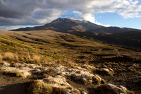
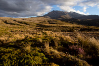
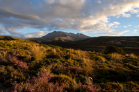
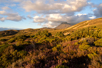
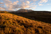
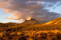
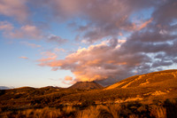
Tongario was established as a national park in 1887, the first national park in New Zealand and the fourth one internationally. In addition, it was the first national park in the world to be gifted by a country's indigenous people. Today, it is a dual World Heritage area, a status that recognizes both the Maori cultural and spiritual associations with the park as well as the exceptional volcanic features that are found there.
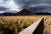
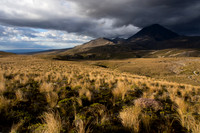
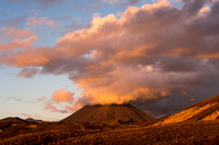
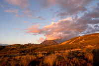
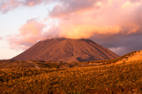
Three volcanoes form the core of the park: the mountains of Tongariro, Ngauruhoe and Ruapehu. Together, they mark the southwestern end of the Pacific Ring of Fire. And they have been very active in recent years: Traditionally, Ngauruhoe has erupted approximately every nine years, although the most recent eruption was in 1975; Ruapehu sent clouds of ash and steam skyward in 1995 and again in 1996; and, there were eruptions on Mt. Tongariro's northern slopes in August and November 2012. When we visited, steam was still rising from this new crater, and the famous Tongario Alpine Crossing was closed beyond the midpoint.
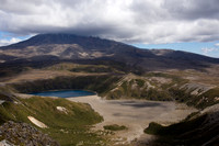
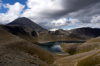
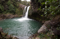
We were fortunate to spend almost a week at Tongario National Park, which allowed us to explore many of its outstanding features. We hiked trails to Tama Lakes, the open portion of the Tongario Alpine Crossing and Mt. Tongariro, the Pinnacles of Mt. Ruapehu, Lake Rotopounamu, and several Whakapapa Village walks, including Tawhai Falls, Taranaki Falls, and Silica Rapids.
Category:
Subcategory:
Subcategory Detail:
Keywords:
© Sustaining Images, All Rights Reserved