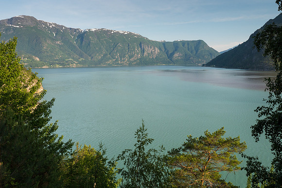
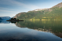
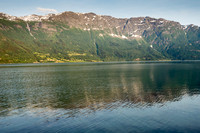
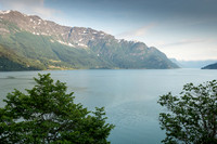
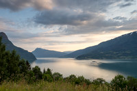
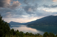
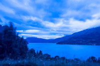
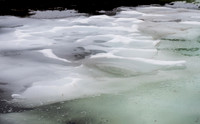
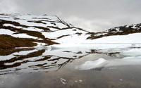
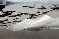
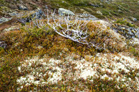
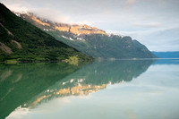
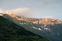
The Lusterfjord is the innermost arm of the Sognefjord, which is the longest (over 200 km) and deepest (at 1308 meters) fjord in Norway. It is surrounded by the glaciers and high mountains of the Jotunheimen National Park and the Jostedalsbreen National Park. The water in the Lusterfjord takes on an emerald color from the meltwater of the glaciers that flows into the fjord. Many artists have been inspired by the unique beauty of the landscape around Lusterfjord.
Along the southern shore of the fjord is the “Romantic Road,” which winds its way through several tiny villages and small farms growing fruits and berries. Midway along the road is the majestic Feigumfossen waterfall, which is one of Norway’s highest. Also along the road is the Munthehuset Villa, where during the first half of the 19th century some of Norway’s best known painters often stayed, finding inspiration in the natural surroundings. At the western end of the Romantic Road is Norway’s oldest stave church, Urnes, the only stave church to be recognized as a UNESCO World Heritage site.
The northern shore of Lusterfjord is a National Tourist Route. The small, peaceful village of Solvorn contains many traditional buildings, including the Walaker Hotel, a beautiful historic building that also houses a special art gallery. Not far after Solvorn is the road to the Nigardsbreen glacier. In the quiet village of Luster is a distinctive stone church with Gothic architecture that was built around 1200. At the head of the fjord is the village of Skjolden, where the famous Austrian philosopher Ludwig Wittgenstein lived for a period of time in the early 1900s. He aptly described the area as having a “quiet seriousness.” Before the building of today’s roads, Lusterfjord served as the highway to Bergen, with ships sailing several times a week between Skjolden and Bergen.
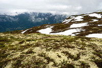
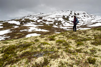
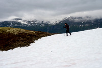
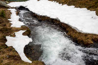
During our stay by the Lusterfjord, we hiked in both Jotunheimen National Park and Jostedalsbreen National Park. In Jotunheimen we started both hikes from Turtagro, a hotel at the foot of the Hurrungane mountain range. We had a shorter hike on a cold, cloudy day on a trail that followed a small stream to Skagastolen, but the hike that will always remain one of our favorites was to Fannarakhytta, the highest mountain hut in Norway (2068 meters). Due to the heavy winter snows, the trail was still covered by snow in many places, making it difficult to follow in places, but as we walked the many twists and turns to the top, we were treated to many views of the Hurrungane Range. After we crossed the final stretch of snow-covered trail, the panoramic view from the top was spectacular; we had a 360-degree view of snow-covered peaks, looking across to the Hurrungane peaks and across the entire west Jotunheimen range. It was an amazingly clear day, with excellent visibility. We didn’t want to leave, but we hadn’t made reservations to stay the night, so we make out way back down the mountain late in the day, treated to the sight of the Hurrungane peaks without a cloud in sight, as the late afternoon light slowly faded and the bright snow took on a soft glow. We lost the trail a couple of times and had to very slowly work our way down a few stretches of steep snow fields, but we managed to descend safely, with many amazing images that will remain with us for the rest of our lives.
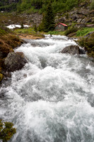
Our visit to Jostedalsbreen National Park took us to the Nigardsbreen glacier, one of the more accessible in Norway. The drive to reach Nigardsbreen is through the scenic valley of Jostedalen, taking us to Breheimsanteret National Park Centre, with a unique architecture inspired by the glacier formations. We walked over and around the large boulders by the shore of the glacier lake and made our way to the face of the glacier. We were there in the very late afternoon, so we had it nearly to ourselves on a beautiful sunny day, with clouds moving across the sky and playing hide-and-seek with the sun. We were able to see the blue ice at close range, as we sat on a large boulder by the fast-flowing stream of melting glacier waters. Nigardsbreen is a tongue of the Jostedalsbreen, the largest glacier in continental Europe. Like most glaciers, it is slowly flowing downwards, like a slow river, weaving an S shape through the valley. It was sobering to know that the ice breaking off from the foot of the glacier fell as snow on the ice cap approximately 800 years ago.
Visiting the Urnes Stave Church was a special experience. Originally built in 1130, it is the oldest of its kind in Norway, and it has some of the richest carvings of any stave church. It is the only one to be recognized by UNESCO as a World Heritage Site. The church sits on a beautiful spot overlooking Lusterfjord and framed by tree-covered mountains. The carvings draw from Viking pagan art, depicting stylized mythical creatures entwined among foliage. The old portal in the northern wall is the most remarkable of the carvings. Some believe it represents a lion (the symbol of Christ) fighting a snake (a common representation of Satan), thus representing the eternal fight between good and evil; others see it as a scene from Norse mythology, in which intertwined snakes and dragons represent the end of the world. Even the interior draws from Viking heritage – the original ceiling was shaped like an upside-down boat. For me, the most impressive aspect of the church is that the timber used for the beams is still standing and is in nearly original condition, over 800 years after the trees were originally felled. The story of how these poles were prepared is fascinating, and many other features of the building of the church show how the original builders had in mind a long-term view of its existence.
From Luster, we drove the National Tourist Route over Sognefjellet to Lom. This is the highest and considered the most impressive mountain pass in Northern Europe. Along the way we saw glimpses of several impressive peaks in the Jotunheimem National Park, although the sky was full of low clouds and there was light rain most of the way. While in Lom, we visited the stave church that is situated on the outskirts of town on our way to Geiranger.
Category:Scenic
Subcategory:Landscapes
Subcategory Detail:
Keywords:
© Sustaining Images, All Rights Reserved